Peter Brown
PSC and our partners have completed a survey of over 1600 km of transmission line for New Zealand’s National Grid owner Transpower combining detailed modeling with dedicated vegetation management for the Phase 10 survey.

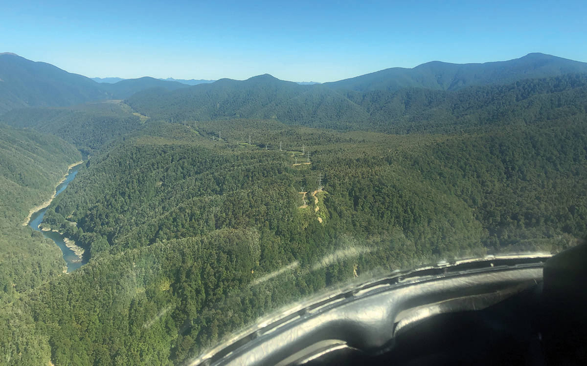
LiDAR flight heading toward Inangahua on the West Coast of New Zealand
Along with Opten’s LiDAR and positioning systems, two photo systems were onboard to supply high-quality imagery, and ground weather stations placed by New Zealand’s National Institute of Water and Atmospheric Research (NIWA) provided the weather data input for the metrological modeling used for conductor temperature calculations.

LiDAR calibration flight in Christchurch New Zealand
GCH Aviation was used to supply helicopter and aviation engineering services for the project. The laser scans a swath under the helicopter’s flight path, detecting conductors, towers, the ground plane, and other features such as roads, buildings and vegetation. Photo systems are used to supply imagery for object identification and as an accurate record at the date of the survey. GPS receivers are placed strategically along the route to provide differential GPS for accurate helicopter positioning.
Now that the survey is completed, models of the Transmission line are being developed using industry-leading processing and modeling tools. Transpower will receive final PLS-CADD models for engineering assessment and analysis, along with some specialist reporting around vegetation clearances and other aspects. Planning has begun for next year’s survey.
